Our world is bustling with activity, with natural wonders and human creations. Have you ever wondered how geoscientists map the Earth’s surface with such accuracy? With the help of Light Detection and Ranging (Lidar) technology, they can create high-resolution digital elevation models (DEMs) to study various landforms and hydrological features. However, the raw Lidar data often contain systematic errors that need correction. Lidar DEM correction in Channel Profiles.
This article will discuss Lidar DEM correction in channel profiles and its significance in understanding river morphology and sediment transport.
What are digital elevation models (DEM)?
Digital Elevation Models, commonly called DEMs, are raster GIS layers that provide a grid representation of the Earth’s surface. A vertical datum is a zero-elevation surface used by geodesists, scientists, and insurers.
In most situations and scales, the term DEM is used interchangeably to refer to bare earth and surface objects, as the distinction between them is insignificant. Typically, DEMs have spatial resolutions of 20 meters or more.
The size of the grid cells determines the level of detail within a DEM data file. A smaller grid spacing, or smaller cell size, results in more detailed information within the DEM file, making it an ideal choice for those seeking highly detailed modelling.
But why is Lidar DEM correction in channel profiles?
Lidar DEM correction is necessary for channel profiles to ensure proper river morphology and sediment transport measurement.
When creating digital elevation models (DEMs) from Lidar data, water and sediment in river channels can cause errors that lead to incorrect channel slope estimates and cross-sectional profiles.
These errors can affect the interpretation of channel geometry and hydraulic parameters, critical for understanding river behaviour and managing water resources.
Therefore, Lidar DEM correction methods such as water surface extraction and channel regularization filter out the unwanted signals and obtain precise channel topography.
Corrected Lidar DEMs can help study river responses to environmental changes, predict floods, and mitigate erosion.
What machines and technology capture information for DEMs?
Digital Elevation Models (DEMs) use remotely sensed data from satellites, drones, and aircraft. The diverse range of data sources used to create DEMs enables researchers to fill in data gaps in remote areas where information is limited.
Automatic DEM extraction can be achieved through stereo satellite scenes, utilizing data from sensors such as SPOT-5, with a resolution ranging from 5-10 meters.
Various remote sensing methods are employed to obtain DEM surfaces, including:
- SAR Interferometry (InSAR): A technique that utilizes synthetic aperture radar (SAR) data, such as the Shuttle Radar Topography Mission (SRTM), to generate a DEM. The method captures multiple radar images from antennas collected simultaneously to create a high-resolution DEM. Some researchers have developed DEMs from InSAR and applied deep learning to correct for urban influence, such as in the CoastalDEM project.
- Stereo Photogrammetry: A method that involves capturing aerial photography or satellite imagery from two or more different vantage points of the same area. Similar to human vision works, this technique allows researchers to obtain depth and perspective where the images overlap.
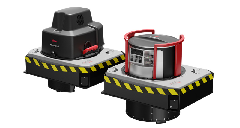
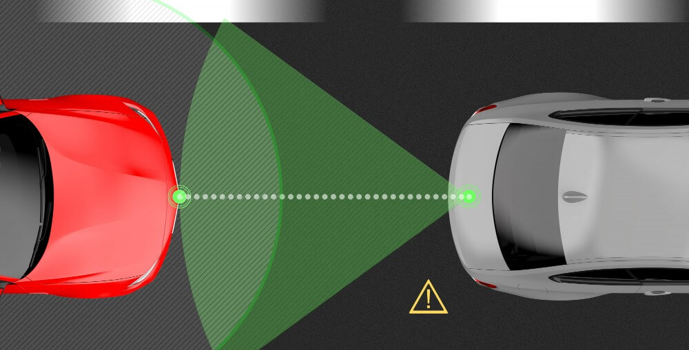
- LiDAR (Laser Altimetry): Utilizes light to measure the reflected light bouncing off the ground to determine the elevation of the Earth’s surface.
- Digitizing Contour Lines: DTMs (a subset of DEMs) can be easily digitized and interpolated using geospatial software.
- DGPS Measurements: Differential GPS or DGPS is a field campaign method that uses specialized devices to survey points across an area and determine their position. The data points are then interpolated to yield a continuous raster.
- Ground Surveying: Utilizes skilled labour to assess known XYZ positions, and neighbouring areas are measured using a theodolite device. Like DGPS, all the points must be interpolated to yield a continuous raster.
Conclusion of LiDAR DEM Correction in Channel Profiles
Lidar DEM correction is crucial in obtaining accurate channel topography for river systems. Using Lidar data can lead to inaccurate channel morphology and hydraulic parameter measurements, significantly affecting flood prediction and water resource management. Lidar DEM Correction in Channel Profiles methods, like water surface extraction and channel regularization, allow researchers and engineers to get detailed channel profiles and learn more about river behaviour.
As technology advances, LiDAR DEM Correction in Channel Profiles techniques will play an essential role in accurately characterizing river systems and helping us manage these valuable resources more effectively.
