You’ve come to the right place if you need to know the ins and outs of 3D laser scanning surveys. This type of survey uses lasers to create a three-dimensional image of an object or area.
It’s often used in engineering and architecture to create detailed models of buildings or other structures. This blog post will discuss the different types of 3D laser scanning surveys and their applications.
What is 3D laser scanning?
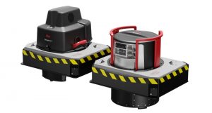
3D laser scanning is a technology that captures the three-dimensional geometry of an object or environment using a laser beam. The data collected can create three-dimensional models and measurements of the scanned object or environment. 3D laser scanning has various engineering, architecture, construction, and forensics applications. It can be used for reverse engineering, analysing objects, or creating as-built structures or crime scene models.
Read This: Scaniverse – free LiDAR scanning app on your iPhone 2022
How does 3D laser scanning work?
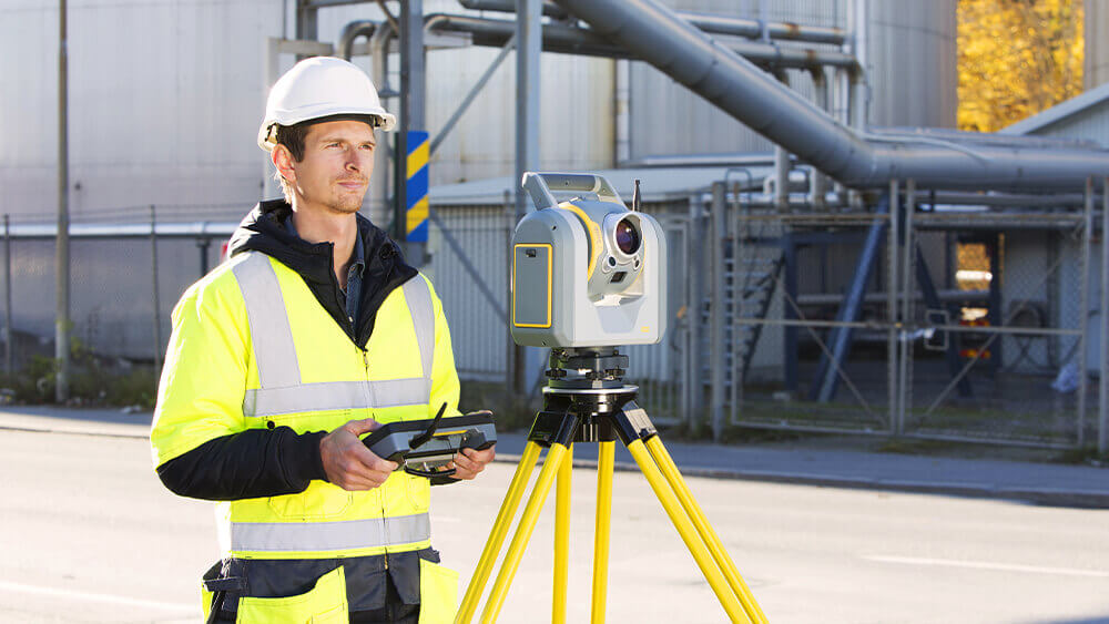
3D laser scanning works by using a laser to scan an object and create a three-dimensional image. The laser beam is bounced off the object’s surface and captured by a sensor, which converts it into a three-dimensional image. Using the image, we can create a three-dimensional model of the object. 3D laser scanning is a powerful tool for creating accurate three-dimensional models of objects. You can use it to build models of invisible objects to the naked eye or models too complex for traditional methods like photos or drawings to depict accurately.
What are the benefits of 3D laser scanning surveys?
3D laser scanning surveys offer many benefits over traditional surveying methods. They are faster, more accurate, and more versatile.
3D laser scanners send out a laser beam and measure the time it takes for the beam to bounce back. This information is then analysed to create a 3D model of the scanned area. This process is much faster than traditional surveying methods, which can take days or weeks. 3D laser scanning surveys are also more accurate than traditional methods.
The laser beam can capture tiny details that other methods might miss.
How can 3D laser scanning surveys be used?
There are many uses for 3D laser scanning surveys, such as measuring space dimensions, assessing the condition of a structure, or generating a 3D model. A space that is too large or complex for traditional surveying methods can benefit from this technology.
What are the limitations of 3D laser scanning surveys?
Before using this technology, you should be aware of its limitations. One potential limitation is the amount of time required to complete a survey. It can take significantly longer to complete than traditional surveys, which may not be feasible for some projects. Additionally, 3D laser scanning surveys require specialised equipment and trained personnel, which can add to the overall cost of the survey. Laser scanning can also be limited to a fixed location, which may not be possible in some situations. Finally, 3D laser scanning surveys may not be able to capture certain types of data, such as subsurface features.
Conclusion
In conclusion, the 3D Laser Scanning survey has lit up the 2020 real estate market in a way nothing else has. Because it allows for unprecedented accuracy, it allows buildings to be digitally analysed and made as marketable as possible.
The 3D laser scans are a fast, non-invasive process that lets sellers understand their buildings’ precise condition, and buyers know exactly how they want their buildings to look. 3D laser scanning technology is rapidly becoming a standard in the real estate market, causing considerable shifts in the real estate business.