3D LiDAR Sensors and Laser sensor technology
  • Products
  • Who We Are
  • Our News
  • Jobs
  • Contact Us
  • Blog
Menu
  • Products
  • Who We Are
  • Our News
  • Jobs
  • Contact Us
  • Blog
Request a Quote
UK lidar map

UK lidar map | How to use lidar map in UK?

October 22, 2024

The UK uses LiDAR mapping to create detailed 3D images of land. UK lidar map data is available for free on websites like Digimap or

Read More »
Mobile Mapping Sensor

Experience Mapping Redefined: Coral Mobile 3D Mobile Mapping Sensor.

September 27, 2024

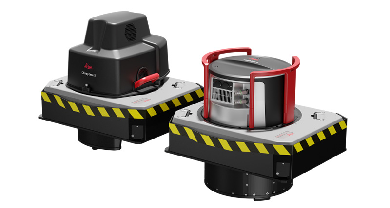
3D mobile mapping sensors have made mapping the world easier and more precise. These devices collect detailed data quickly and accurately. This helps professionals in

Read More »
Lidar Vision for Robots

Lidar Vision for Robots: How It Can Enhance Your Robot’s Ability to See

April 25, 2023

Adding Lidar Vision for Robots has changed how they see and move around the world. This cutting-edge tracking technology lets robots make accurate and thorough

Read More »
bathymetric lidar sensor

What Light Does Bathymetric Lidar Sensor Use and Why?

April 13, 2023

Imagine if you could accurately map the structure of the seabed from thousands of feet in the air. Sounds too good to be true, right?

Read More »
PRECISION-LASER-Automation

Spectra Precision Laser: The Ultimate Tool for Perfection in Your Next Project

March 31, 2023

Ah, the Spectra Precision Laser! It’s a game-changer for construction and surveying professionals, making their work a breeze. This high-tech tool, known for its accuracy and

Read More »
lidar mapping uk

Understanding Lidar Mapping UK for Accurate Terrain Data 2023

March 2, 2023

Lidar mapping UK is a technology that has revolutionized how we collect terrain data. It uses laser sensors to create high-resolution images of the Earth’s

Read More »
LiDAR DEM Correction in Channel Profiles

LiDAR DEM Correction in Channel Profiles

March 2, 2023

Our world is bustling with activity, with natural wonders and human creations. Have you ever wondered how geoscientists map the Earth’s surface with such accuracy?

Read More »

Lidar Pipe Inspection: Advanced Technology for Accurate Data Collection 2023

March 1, 2023

Lidar pipe inspection is essential for ensuring pipeline system safety and reliability. However, traditional inspection methods can be time-consuming and expensive and may not provide

Read More »

Revolutionizing Business Operations: The Combined Benefits of LiDAR and SEPA

February 27, 2023

Welcome to our complete guide on SEPA LiDAR technology in Scotland. This article will discuss the benefits of using SEPA and LiDAR technology, how it

Read More »

Light Sensor Annotation: An Essential Tool for Data Analysis

February 17, 2023

Light sensor annotation helps unlock the value of sensor data. With the use of sensors to optimize processes and inform decision-making increasing, context is becoming

Read More »
Page1 Page2 Page3 … Page6

Recent posts from our blog

UK lidar map

UK lidar map | How to use lidar map in UK?

Mobile Mapping Sensor

Experience Mapping Redefined: Coral Mobile 3D Mobile Mapping Sensor.

Lidar Vision for Robots

Lidar Vision for Robots: How It Can Enhance Your Robot’s Ability to See

bathymetric lidar sensor

What Light Does Bathymetric Lidar Sensor Use and Why?

PRECISION-LASER-Automation

Spectra Precision Laser: The Ultimate Tool for Perfection in Your Next Project

lidar mapping uk

Understanding Lidar Mapping UK for Accurate Terrain Data 2023

LiDAR DEM Correction in Channel Profiles

LiDAR DEM Correction in Channel Profiles

Lidar Pipe Inspection: Advanced Technology for Accurate Data Collection 2023

Revolutionizing Business Operations: The Combined Benefits of LiDAR and SEPA

© 2022 RedSensors.Com. All Right Reserved | Privacy Policy