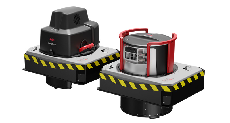
Make sure your LiDAR system and multi-sensor systems are performing well
We all know how important it is to have a reliable LiDAR system. But what about a multi-sensor system? Is it just as important? The
We all know how important it is to have a reliable LiDAR system. But what about a multi-sensor system? Is it just as important? The
RUBY 3D Lidar is an innovative new product that provides users with a high-quality 3D imaging experience. This cutting-edge technology offers a number of benefits
Lidar Finder is an online LiDAR data discovery and delivery service. It allows users to find, preview, and download LiDAR data sets that are available
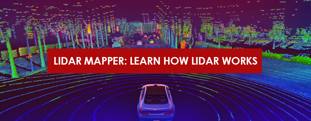
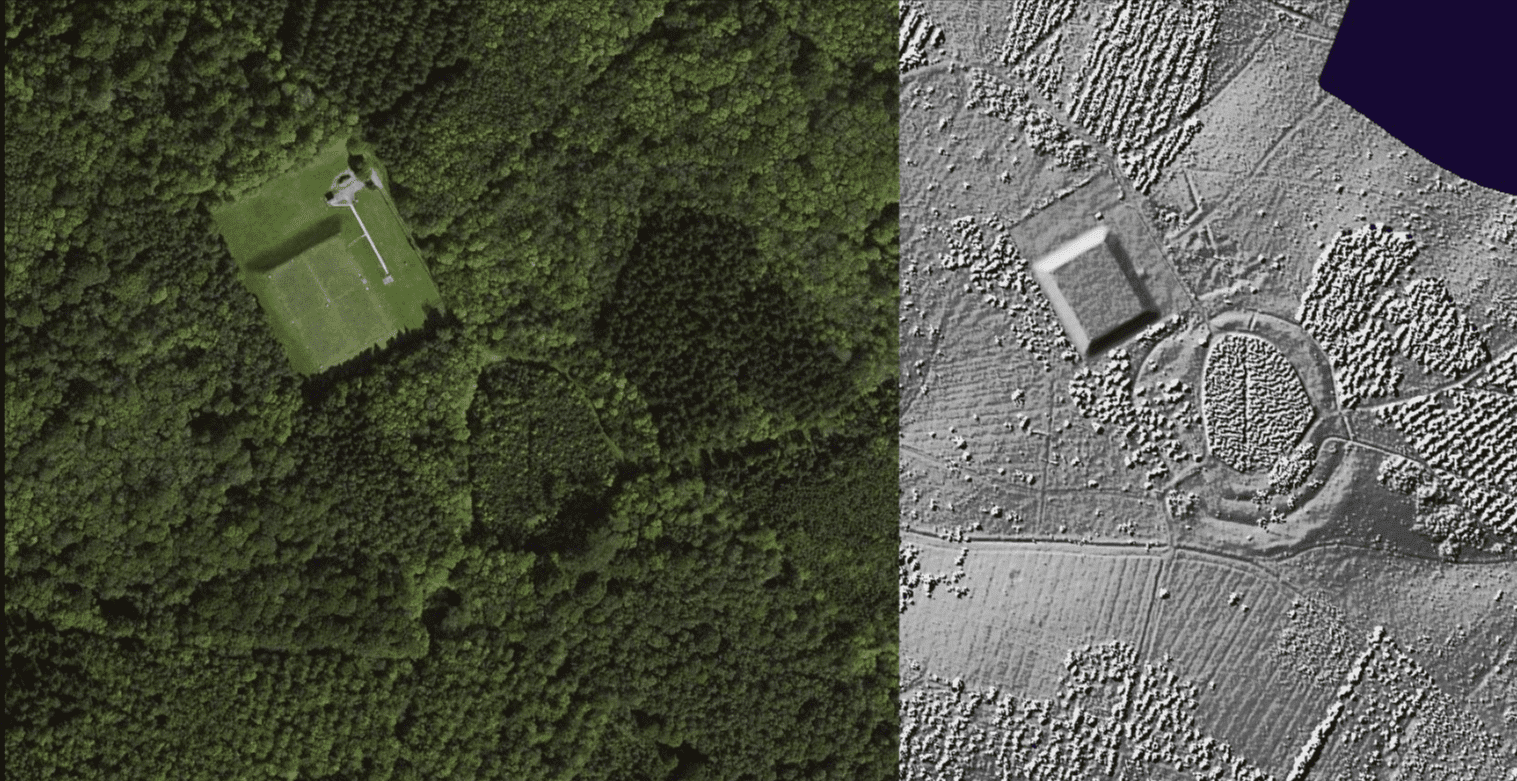
Lidar is a remote sensing technology that uses laser light to map the surface of the earth. Lidar mappers use this technology to create high-resolution

Laser cutting is a technology that has revolutionized the car manufacturing industry by speeding up the manufacturing process and increasing its efficiency. This technology has
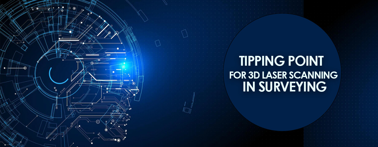
3D laser scanning has become an essential tool for surveying professionals. The technology has evolved rapidly in recent years and is now more affordable and

Lasers are becoming increasingly popular nowadays in a variety of settings and applications. The laser system offers many benefits over traditional methods, but there are
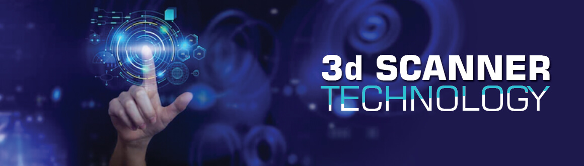
3D scanning technology is an exciting and rapidly evolving field. There are many different types of 3D scanners available on the market, each with its

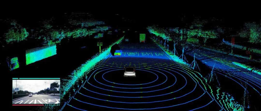
When it comes to 3d lidar scanner, people either love them or hate them. There’s no denying that robotic and automated vehicles are going to
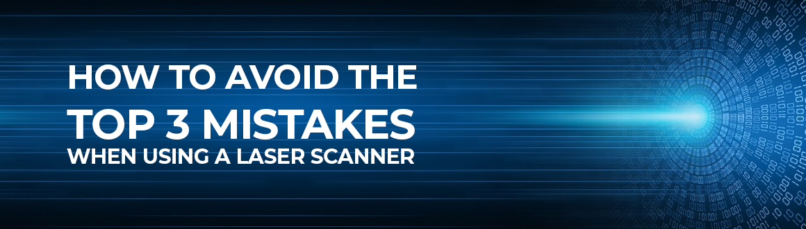
Laser Scanners: The automotive industry is one of the largest markets for metrology equipment. In particular, hand-held laser scanner devices are used extensively in the